
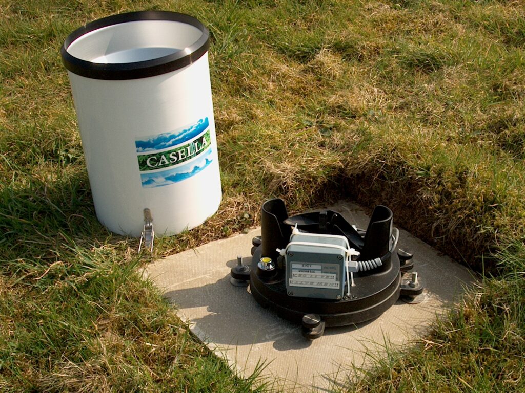
Accurate measurements are crucial for our ability to understand and manage water. Hydrology depends on measurements of the quantity and chemical characteristics of precipitation, stream flow, lakes, groundwater, soil moisture and evaporation. Long-term data series are valuable for understanding changes and capturing rare extreme values.
Many organisations and individuals, including citizen scientists, are involved in the acquisition of field measurements and the subsequent processing, validation, archiving, and dissemination of hydrometric data. Ensuring the continuity of measuring networks and maintaining the quality of such data is a major challenge, at a time when there has never been a greater need to maximize the integrity of the data upon which water management is based. A challenge for hydrological sciences is to decide who or what pays for the costs of ensuring longevity and continuity of data gathering, monitoring and archiving.
Hydrological measurements are being transformed by technological developments such as the use of drones and satellite observations to remotely monitor rainfall, soil moisture, river levels and flow velocities and the widespread deployment of low-cost sensors.
BHS events and publications frequently focus on advances in hydrometry and its importance as the foundation for both scientific understanding of hydrology and operational water management.

Links to UK hydrological data sources
(Expand for more details of each)
Environment Agency Hydrology Data Explorer
The Environment Agency Hydrology Data Explorer provides access to open hydrology data: rainfall, river flows, river levels and groundwater readings for open stations throughout England. As well as water quality data from Environment Agency water quality units for open and historic sites. Raw data is uploaded regularly and replaced once plausibility checks have been completed.
Natural Resources Wales
Natural Resources Wales provides river level, tidal and rainfall data for Wales.
SEPA Time series data service
The SEPA Time series data service provides access to live and historical high resolution environmental observation data for Scotland
NI data service
Provisional hydrometric observation data for Northern Ireland are available via the Hydromet Cloud.
Hydrological Summary
The National Hydrological Monitoring Programme, run jointly by the UK Centre for Ecology & Hydrology and the British Geological Survey, monitors hydrological conditions throughout the UK, to place them in a historical context and, over time, identify and interpret any emerging hydrological trends. Such information is essential for improved water management strategies, and its dissemination helps to increase public understanding of hydrological and water resources issues.
This is accomplished through regular monthly and annual bulletins, occasional reports on floods and droughts, and engagement with the media. Hydrological analysis and interpretation within the programme is based on the data holdings of the National River Flow Archive and National Groundwater Level Archive, including rainfall, river flows, borehole levels, and reservoir stocks.
The NHMP is run with the cooperation of the principal measuring authorities such as the Met Office, the Environment Agency, Scottish Environment Protection Agency, Natural Resources Wales and the Department for Infrastructure, Department for Infrastructure, Rivers Directorate (Northern Ireland).
UK National River Flow Archive
The NRFA is hosted by the UK Centre for Ecology & Hydrology. The archive acts as the main focal point for hydrometric data in the UK, providing stewardship of, and access to, daily, monthly and flood peak river flow data from over 1,500 gauging stations across the UK.
The NRFA collates, quality controls, and archives hydrometric data from gauging station networks across the UK including the extensive networks operated by the Environment Agency (England), Natural Resources Wales, the Scottish Environment Protection Agency and the Department for Infrastructure, Rivers Directorate (Northern Ireland). NRFA data also include catchment rainfall totals, derived from Met Office data, and various spatial data sets (e.g. digital elevation data, land cover, geology and hydrogeology), developed by UKCEH and the British Geological Survey (BGS).
UK Water Resources Portal
The UK Water Resources Portal is a web-based system for tracking the hydrological situation in near-real-time. It offers dynamic, interactive situation monitoring, mapping and plotting and a wide range of variables including rainfall, river flow and soil moisture measurements. Near real-time river flows across England are fed in from the new Environment Agency hydrological data service.
Hydrological Outlook UK
The Hydrological Outlook gives an insight to the hydrological conditions over the coming three months. They are compiled by the National Hydrological Monitoring Programme and can be accessed via the Outlook website. Here you can register to receive each email notification of when each Outlook is published and also provide feedback on presentation and usefulness.
COSMOS-UK
The COSMOS-UK project delivers soil moisture data in near-real time from a network of stations installed across the UK. These stations use a innovative sensor that exploits cosmic-rays to measure soil moisture over an area of about 12 hectares (about 30 acres). The sensor sits above ground and operates automatically to deliver data from remote sites.
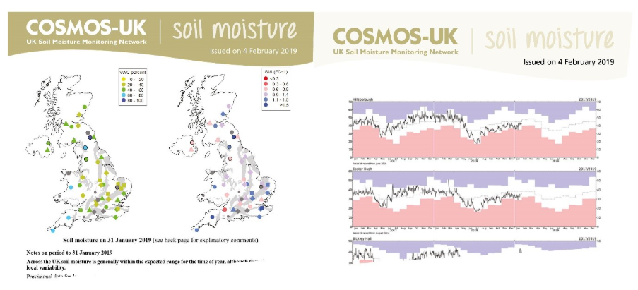
It is anticipated that such publicly accessible real-time data will empower all kinds of applied environmental research: more accurate meteorological models; better water resource information of current and future conditions; increased resilience to natural hazards, for example by earlier flood warnings; improved water use efficiency in crop production and give better crop yield forecasts.
Data from the COSMOS-UK network are available for download from the CEH catalogue.
The COSMOS-UK project team welcomes your feedback on all aspects of the project COSMOSUK@ceh.ac.uk.
Chronology of British Hydrological Events
This active web resource records thousands of significant hydrological events in its database. It covers floods and droughts, surface and groundwaters, and is searchable by hydrometric area, date, keyword or more. It has been heavily used as a source of information by hydrologists seeking to identify records of historic floods which help to guide contemporary flood risk estimation. The chronology does not claim to be exhaustive, but seeks to point users towards useful sources of further information. New contributions are welcome from those with an interest in past hydrological events.
Flash Flood Chronology
The flash flood chronology from JBA Trust aims to support improved assessments of flash flood risk for a given location and of catchment vulnerability to flash flooding. It contains a database and interactive map of flash flood events in Britain, derived from historical reports dating back over more than 200 years.